Introduction to Nepal’s Geography

The Republic of Nepal lies on the southern slope of the great Himalayan Mountain in northern hemisphere of the globe. Nepal is roughly rectangular in shape. It is bounded with 26° 22" North latitude to 30° 27" North latitude and 800 4" East longitudes to 880 12" East longitudes. It is surrounded three sides by India and north side by China’s autonomous state Tibet. Its East- West length is 885 km and North South width is 193 km in average (maximum length is 242 km and minimum is 141 km). Two giant Asian countries China and India are lying to the north and south of the Nepal. Geographically, Nepal is a diversified country. Within the width of 200 km there are varieties of altitudes, climates, ecologies and culture, flora and fauna.
Nepal is full of varieties of people, languages, cultures and traditions There live altogether 103 castes and ethnic groups. More than 93 languages are spoken here. Aryan and Mongolian people are common races. The Mongolian races are divided in to many ethnic groups. Such as Newar, Rai, Limbu, Tharru, Tamang, Gurung, Magar, etc. are Mongolian races ethnic people and Brahmin, Chhetri and The majority of people are Hindu Terai. (80.6%). Other religions are Buddhism, Islamism, Christianity, Jainism, from Sikhism, Kirat, and Bahai etc. Nepal was Hindu state but now it is declared as secular state Nepal and all the religion has equal status.
On the basis of river Nepal can be divided in three regions. They are Koshi region, Gandaki region, and Karnali region. The Koshi region is extended form Kanchanjunga to Lamtang Himal. It lies eastern side of Nepal. The middle region is Gandaki, which irrigates the land from Lamtang Himal to Dhawalagiri Himal. The third region is Karnali region. It stretches from Dhaulagiri Himal to Api Himal. Physically Nepal can be divided in to three regions. They are Terai region, Hilly region, and Himalayan region.
1. Terai Region
The plain area to the south of Nepal is called Terai. It is a part of Gangetic plain in the North of India and extended up to 60 m height in Nepal. It is Par by fertile land composed of alluvial soil. This part is called granary of Nepal, which supply food to whole country and export to other countries. The temperature is hot in summer (30° to 35° C) and warm in winter (10° to 15° C). It covers 17 percent of total area of Nepal. Paddy, wheat, mustard seeds, jute, sugarcane, cotton, etc. are the major agroproduction of the region. Tharu, Rajput, Rajvamsi, Satar, Ganagain, Dhimal, etc. live there. They speak Indo European language like Bhojpuri, Tharu, Awadhi, Maithili, etc. Biratnagar, Janakpur, Bhairahawa, Nepalgunj, Dhangadhi, Mahendranagar, etc. are main cities of this region. It receives more rainfall than Hill and Himalayan.
2. Hilly Region
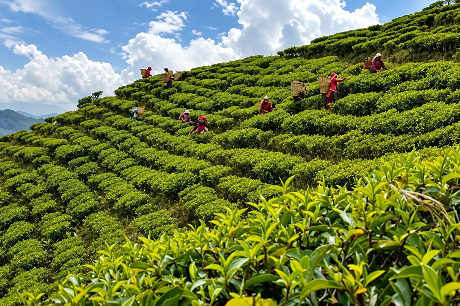
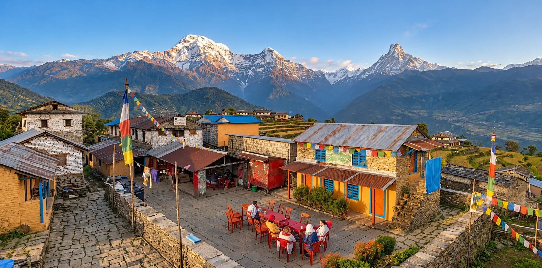
This is the middle part of Nepal. There are high Himalayan Mountains in the north and plain low land in the south. Hilly region is composed of low and high hill. It starts from 300 m and reach up to about 3000 m height. It covers 68 percent of total area of Nepal and has the width from 75 km to 125 km. Coniferous evergreen forest is found in high Mahabharat and deciduous forest in the lower part of lek Kathmandu is the capital of Nepal and it is the heart of cultural heritage, temples, and monuments. The climate of this region is optimum and pleasant. There is diversity in human habitation. Rai, Limbu, Magar, Gurung, Tamang, Brahmin, Chhetri, Newar, Kami, Sarki, Damai, Gandharva or Gaine, etc. are the main inhabitants of this area. They are rich in culture and tradition. Brahmin and Chhetri speak Nepali language and other people speak their inner Himalayas own languages called Tibeto Burman. This region is suitable for horticulture and different herbal plants and hill stations
3. Himalayan Region
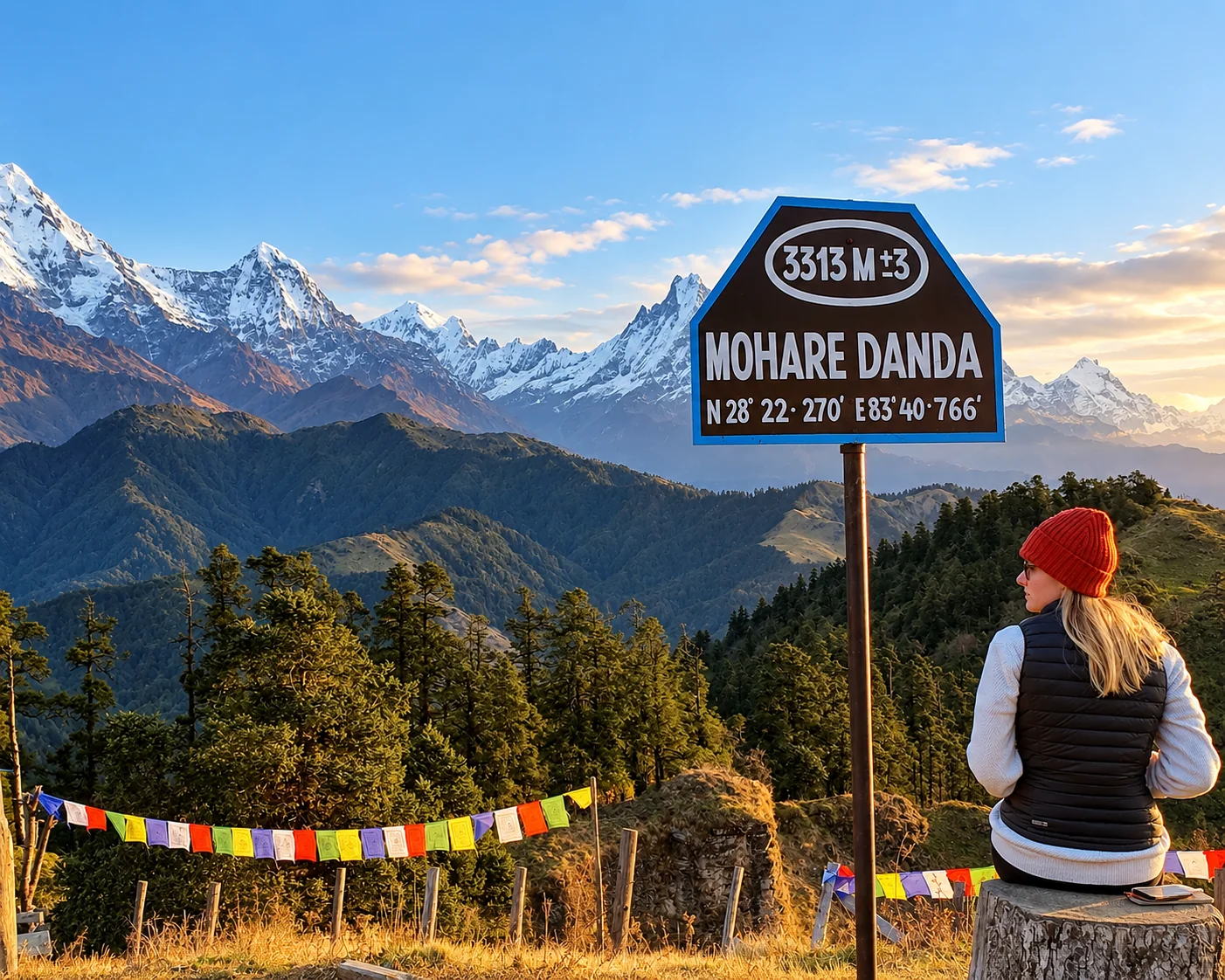
This is the northern belt of Nepal. It covers about 15 percent total area of Nepal and has extended 25 to 50 km length. The region starts from 3000 meters height to 8848 metres height. The snow clad mountains are not the northern frontiers of Nepal but also above the Himalayan region, there are low hill and low land of Nepal. The northern part of Dolpa, Manang, Mustang etc. are across the Himal. More than 26 Himalayan ranges are there. Kumbhakarna, Mahalangur, Rolwaling, Lamtang, Dhawalagiri, Kanjirowa, Gurala Mandhata, etc. are some examples of Himalayan ranges of Nepal. The world highest peak Mt. Sagarmatha lies in Mahalangur Himalayan range. Some other major peaks are Mt. Kanchajangha the third highest peak of the world and the second highest in the country (8586m),, Mt. Lhotse (8516 m.), Mt. Makalu (8463 m), Mt. Choyu (8201 m), Mt. Dhawalagiri (8167 m.), Mt. Manasalu (8163 m.), Mt. Annapurna (8091 m), Mt Gaurisankar (7134 m), Mt. Machhapuchhre (6996 m.), and many others.
The land is not fertile and soil is composed of rocky particles. This region is suitable for tourism. The temperature falls below freezing point in winter season and rises upto 15 to 19 degree Celsius in summer season. The human daily life is difficult. Snow falls heavily during the winter season and the seasonal people leave their homes and descend with their cattle to the lower regions where the winter is less severe. Sherpa, Thakali, of Mugali, Managi, Bhote, etc. live there. They have their own language, culture and tradition.
Rivers of Nepal
Being a mountainous country there are numerous rivers (more than 6000) and rivulets in Nepal. The total length of rivers of Nepal is about 45,000 Km. Nepal is second richest country in the world. According to sources of rivers and duration of water there are three types of rivers in Nepal.
a) First grade rivers
These types of rivers are permanent and round. Their points of origin are snow clad high mountains. The Koshi, the Gandaki, the Karnali rivers are first grade rivers. These rivers are fit for hydroelectricity. The Koshi river is the biggest river in Nepal. It is composed of seven (Kaski), tributaries. So it is also called Saptakoshi. Its tributaries are Tamakoshi, Sunkoshi, Dudhkoshi, Arun, Tamor, Likhu, and Indrawati. Big lakes Gandaki is another important river in Nepal. It drains part of Nepal from Lamtang Himal to Dhawalagiri. It is also known as deepest river of Nepal. It has also seven tributaries. They are Kaligandaki, Budhigandaki, Setigandaki, Trishuli, Madi, Daraundi, beautif and Marsyndi. So it is called Saptagandaki. Karnali River is the useful biggest and permanent river in western side of Nepal. It irrigates land from Dhawalagiri Himal to Api. It is the longest river of Nepal (720 km). It has also seven tributaries. They are Humla Karnali, etc. Mugu Karnali, Sani Bheri, Thuli Bheri, Tila, Budhiganga, and Setiganga.
b) Second grade rivers
The rivers that have the origin in Mahabharat range are second grade rivers. They swell in rainy season and shrink in summer season. These are less important for irrigation and electricity than first grade rivers. Bagmati, Tinau, eastern Rapti, Trijuga, Kankai, Banaganga, etc. are some examples of second Grade River.
c) Third grade rivers
These types of rivers' origin are lower part of Mahabharat hill, and Chure hill. These rivers swell in rainy season with flood and become dry from winter. Only riverbank remains in winter and summer season. These are not suitable for irrigation and electricity. Danduwa, Ratuwa, Danda, Bakraha, Mohana, Tilave, Manusmara, Sirsiya, Jamuni, Chisang etc. are some examples of these type of rivers.
Lakes
Being a hilly country there are numerous ditches and trenches. The deep places are filled with water and formed lakes, pools, wells, ponds, etc. Some lakes have religious importance (Gosain Kunda, Satyawati taal) others have importance for tourism. Rara lake (Mugu), Phewa lake (Kaski), Begnas lake (Kaski), Shey Phoksundo (Dolpa), etc. are some big lakes of Nepal. Ghodaghodi lake (Kailali), Nandabhauju lake (Chitwan), Syarpu lake (Rukum), Suryakunda, Bhairabikunda, Saraswatikunda (Rasuwa), Katuwal Daha (Lalitpur), etc. are some examples of lakes of Nepal. Rara Lake is deepest lake of Nepal and Phewa Lake is most beautiful. Tilicho is the highest lake in the world (4919 m).
Climate
Nepal is rich for different climates. Within the distance of 200 km (north-south), a variety of climates are present. The hot air loo moves in Terai and cold air 'Sireto' moves in high Himal in summer and winter season respectively. Terai region is hot region and hill is warm and moderate and himal is cold region. Dhanagadhi and Taplejung are lying on the same latitude but the climate is different.Itahari is in hot climate but within one and half hour walk we can reach to cold climate place Bhedetar of Dhanakuta.
In an average Nepal's climate is monsoon type and it flows sea to land in summer and land to sea in winter. The sea breeze contains water vapour and occurs rainfall in summer. Nepal experiences three types of seasons summer rain and winter. Nepal's climate can be explained as belows:
Sub tropical monsoon climate
This type of climate is found in the plain belt of Nepal in south. It covers Terai region and lower part of Chure hill. It is extended up to the height of 1200 m. In summer season the temperature reaches up to 380 to 430 Celsius about 200 cm from monsoon. Due to hot and humid climate the forest is thick and trees are tall. This region is suitable for agriculture.
Warm Temperate climate
It is found in upper part of Chure and lower part of Mahabharata Lek up to the height of 2100 m. In over all the summer temperature is optimum. The temperature falls up to there ar 0° Celsius in winter and it remains for long time. Forest is deciduous type and not so thick like Terai region. This region gets rainfall through relief rainfall method. Eastern side gets more rainfall then western side because the monsoon air inters Nepal from Bay of Bengal. Southern part gets 250 cm rainfall in average and upper part gets 100 cm rainfall year round. Pokhara gets highest rainfall district (300 cm) in Nepal. This climate is suitable for horticulture.
Cool Temperate climate
It stretches from 2100 m to 3300 m height to the upper part of Mahabharat Lek and lower part of the Himalayan region. The summer season remains for short period and winter season for long period. In summer season the temperature rises up to 20° Celsius and fall below 0° Celsius in winter. In average this region receives 100 cm rainfall from monsoon.
Alpine climate
This climate remains between the heights of 3300 m to 5000 m below snow line. Most of the time climate remains cold around 0° Celsius. In summer season temperature rises up to 10° Celsius. The rainfall occurs in the form of snow. About 30 cm rainfall occurs here. Due to cold climate the trees are small in the form of bushes and umbrella shape to protect from strong and continuous wind.
Tundra type of climate
Above 5000 m and in main Himalayan region, this climate is found. Always the temperature falls far below the freezing point. All regions are covered with snow and rainfall occurs in the form of snow. Most of the time wind blows and in winter 'sireto' moves. No trees and bushes are grown. Only lichens and mosses are grown in summer.
Similar Blogs
We are associated with